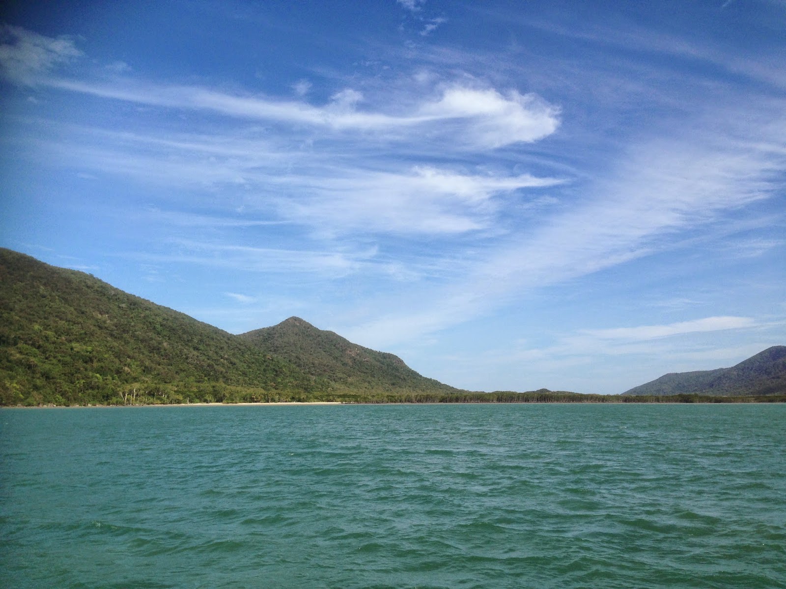
We left Dunk Island on the 16th of September- we were the very last yacht out of the anchorage- nevertheless the anchor and sails were up by 1000. The winds were flukey until the South Barnard islands with the swell 1m+. It was difficult to keep the wind in the sails, giving us a very bumpy ride which of course made Ruby very displeased with us.
 |
| Stephens Island-part of the South Barnard group |
The coastline was beautiful although it was disconcerting to see a yacht on the rocks just south of Mourilyan Harbour. We couldn't see anybody desperately waving from shore so presumed it had been there a while, unbelievable considering masts and winches were still on deck. Investigations later revealed that this poor yacht had been on the rocks for some time.
Passing the entrance to Mourilyan Harbour I wondered if they had been looking for this very tricky entrance! We were making good progress so we continued on to the Johnstone River.
We had made a coffee stop in Innisfail on one of our road trips and one noticeable feature which has dissuaded us from spending any time here was the huge office of the local MP Bob Katter! We were going to ignore our political inclinations this time as Alan Lucas in his cruising guide raves about the town.
The Innisfail historical society says "The original inhabitants of this Innisfail region were the five societies of the Mamu people, following migratory lifestyles in the rainforest, and moving along the rivers in string-bark canoes. Among these, The " Cassowary Tribe", distinguished by head- dresses of scarlet and yellow feathers, were centred on the Tchuken Bora Ground on Jordan Creek, off the Johnstone River...together all these Aboriginal people resisted the occupation of their lands vigorously.
The first incursion came in 1872. Survivors of the shipwreck "Maria" arrived on the coast near the Johnstone River. Some of the indigenous people helped; others they opposed. Sub-Inspector Robert Johnstone's search party came to rescue survivors and punish Aboriginal people who had abused them, and ventured up river from what are now Flying Fish and Coquette Points. Johnstone wrote glowing reports of the area, and with vigilante Native Troopers attacked the Mamu people with rifle fire as he escorted the explorer Dalrymple, charting the watercourse and having it named after himself.
When European cedar cutters and Chinese gold seekers arrived later in the 1870s and early in the 1880s, the Mamu fought them and inflicted serious casualties. Again the Europeans sent in the Native Police. Superior firepower broke up the indigenous communities and dispersed or integrated the remaining original landowners. European settlement, with its Asian and Pacific components, began late in the region, partly because of Aboriginal resistance. The Edmund Kennedy exploration of 1848 revealed impenetrable rainforests, confining European economic enterprises to Pacific coastal waters, mostly to pearling and trepang collection.
Innisfail (called Geraldton until 1911) was founded in 1880 by Thomas H.Fitzgerald who took up a 10000 hectare land grant funded by the Catholic Bishop of Brisbane and All Hallows' Sisters of Mercy. With 10 Irish and 35 South Sea Islanders as workers, he began planting sugar cane in the cleared rainforest lands, but not with personal success.
Those who followed him did better and the community began to grow rapidly on the proceeds of sugar production. Thus sugar drove the growth of predominantly European Innisfail and still exerts a major influence.
The settlers who moved into this region from 1889 were exceptionally diverse. The first influential group were Anglo-Celtic, but they were outnumbered by "Kanaka " South Sea Islanders. Aboriginal and Torres Strait workers, Chinese miners (from the Palmer goldfields) who developed the banana industry and retail businesses. French merchants, and German timber and sugar producers. A large Italian migration began before WW1 and continued into the 1930s and post WW2; much of Innisfail's present culture is of Italian derivation."
We made the river entrance at 1445-the fairway buoy was missing as well as the second charted starboard marker. It was a difficult passage across the choppy Gladys Inlet with AK on the bow calling out sandbanks.(keep reading down-glitches exist!)
 |
| Just passed Gladys Inlet with one of the slipways to starboard |
 |
| view travelling up river to Innisfail |
Once we arrived in the calm river waters Ruby became very excited and called out to all that she was on her way for a visit! The town is roughly 3nm upstream and we anchored opposite the water tank at 1600. It was very much croc country!
close to town
We spent two days anchored near town, it was very hot and we had a bit of rain which made it very muggy. We visited the Chinese Temple and had lunch at the Italian deli-yum! One of the other cafes had multiple signed photos of the cast of Sea Patrol, so guess it was filmed near here. We all loved walking the town and the council does provide for travellers- the public facilities include showers and laundry tubs- a nice touch. We had intended tying up to the public jetty to fill our water tanks but the "big bill fishing" contest folks arrived so we made do with carting water in jugs. A woman on a large cruiser at the "marina" kept an eye on our dinghy and allowed us to tie up near her berth. When I asked about crocs in the anchorage she replied "oh the one in the anchorage is only about 2.5m, the one just up river is 4m+. Gulp!
On our third morning we travelled down river to crocodile rocks as it was becoming very busy in town with plastic fishing boats. It was very peaceful here despite the swifts that kept claiming Manatee by flying through her wheelhouse. Ruby studiously ignored the invaders!
The following photo is of a stunning house near crocodile rocks, certainly a relic from the past, but gorgeous.
 |
| house near crocodile rocks |
We spent the afternoon walking the settlement nearby. While walking Ruby through the streets a local joined me and said she was a 10 pound Pom who was very chuffed when she wrote to relatives back home that her address was now Palm Street Coconut!
 |
| dinghy landing at Coconut |
 |
the village of Coconut
We left 0700 next morning with forecast winds for the next few days 10-15SE. - destination Cairns. We were not happy to be joined at the tricky river exit by the plastics who were all doing top speed to arrive at the fishing spots first. A small yacht also trying to exit had difficulty staying upright. Gotta love those fishing folk.
The crew of Manatee don't enjoy anchoring in rivers but Innisfail was an unexpected delight. The water was clear and the birdlife was magnificent. |


